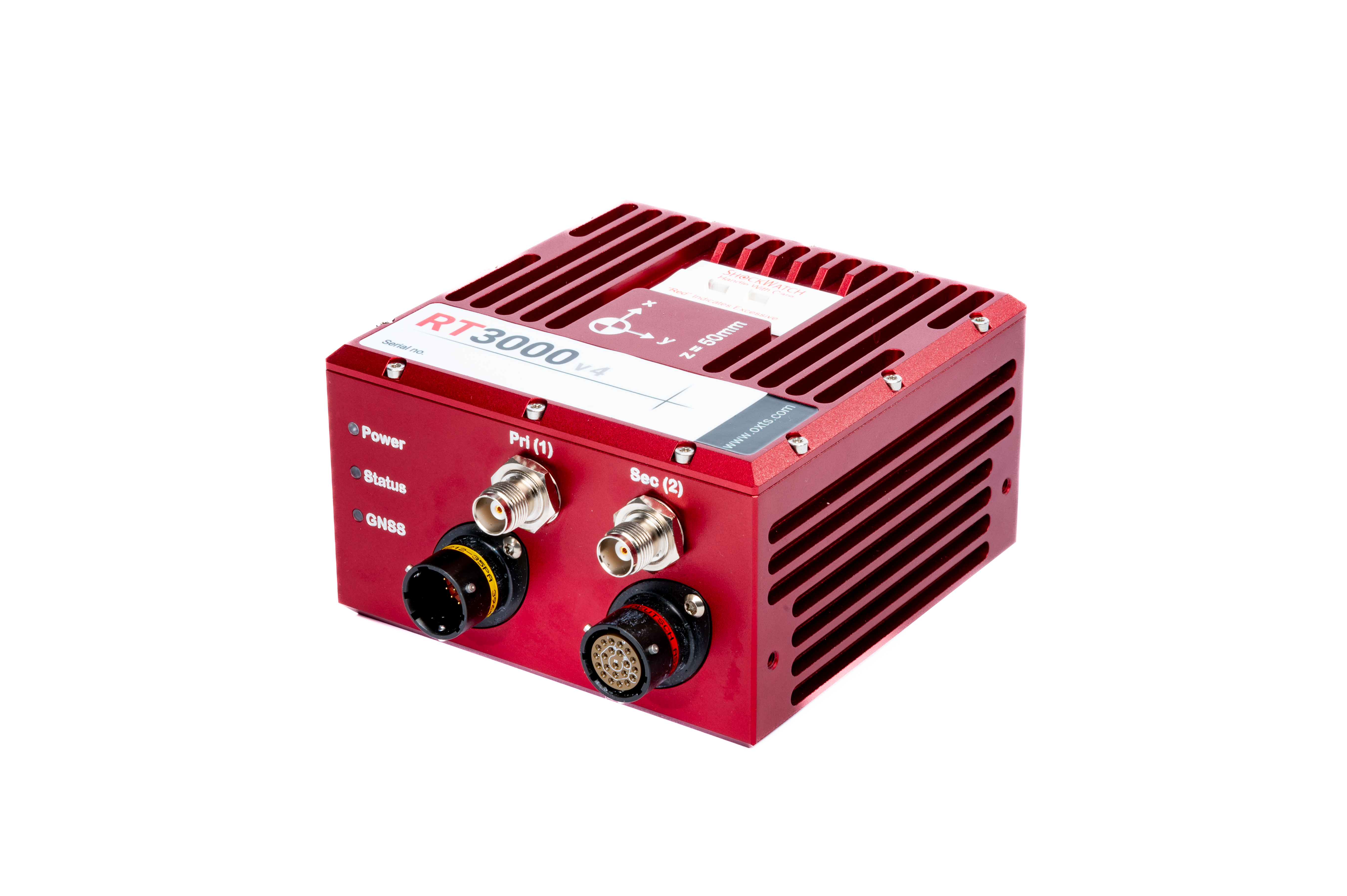
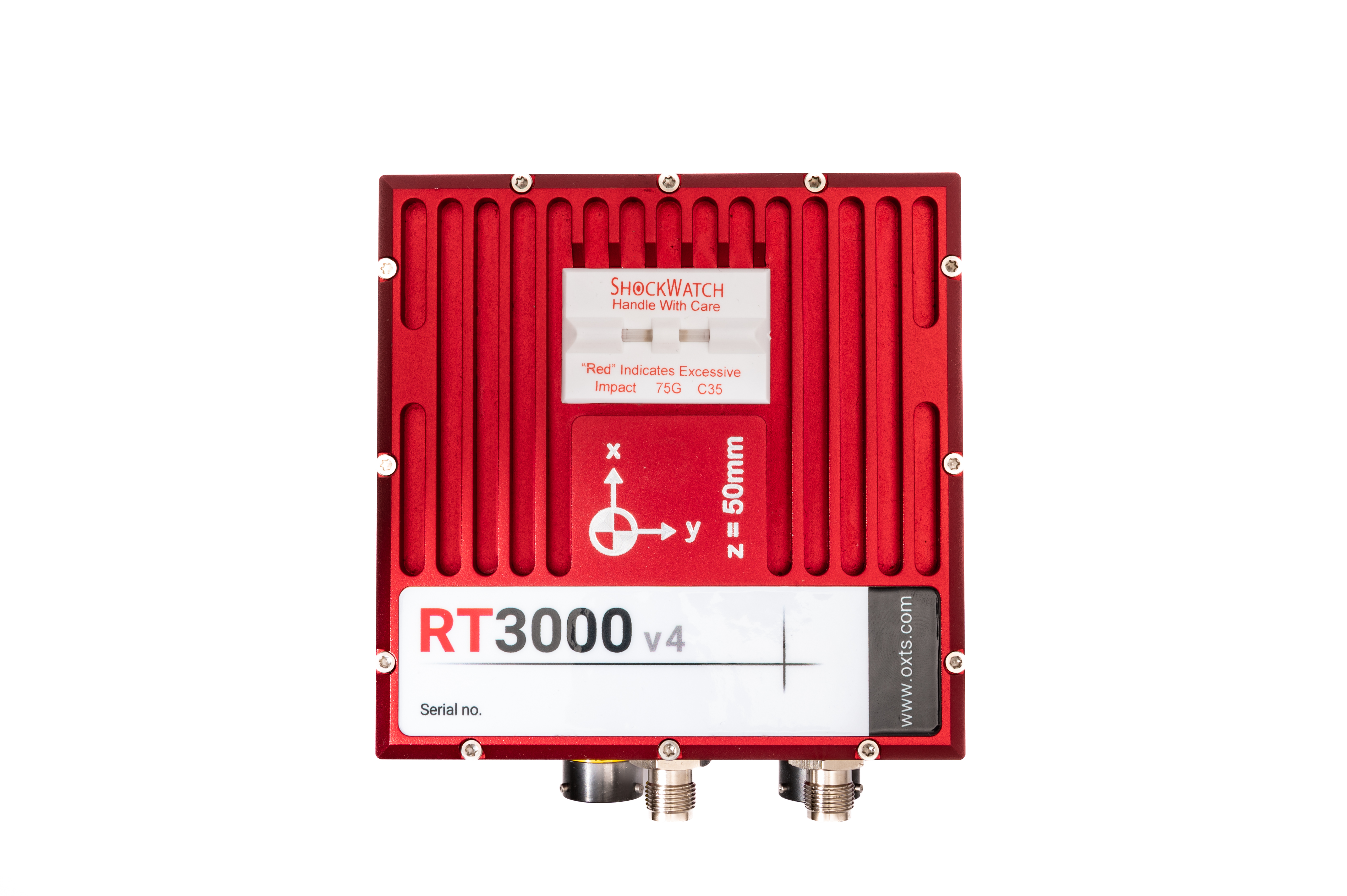
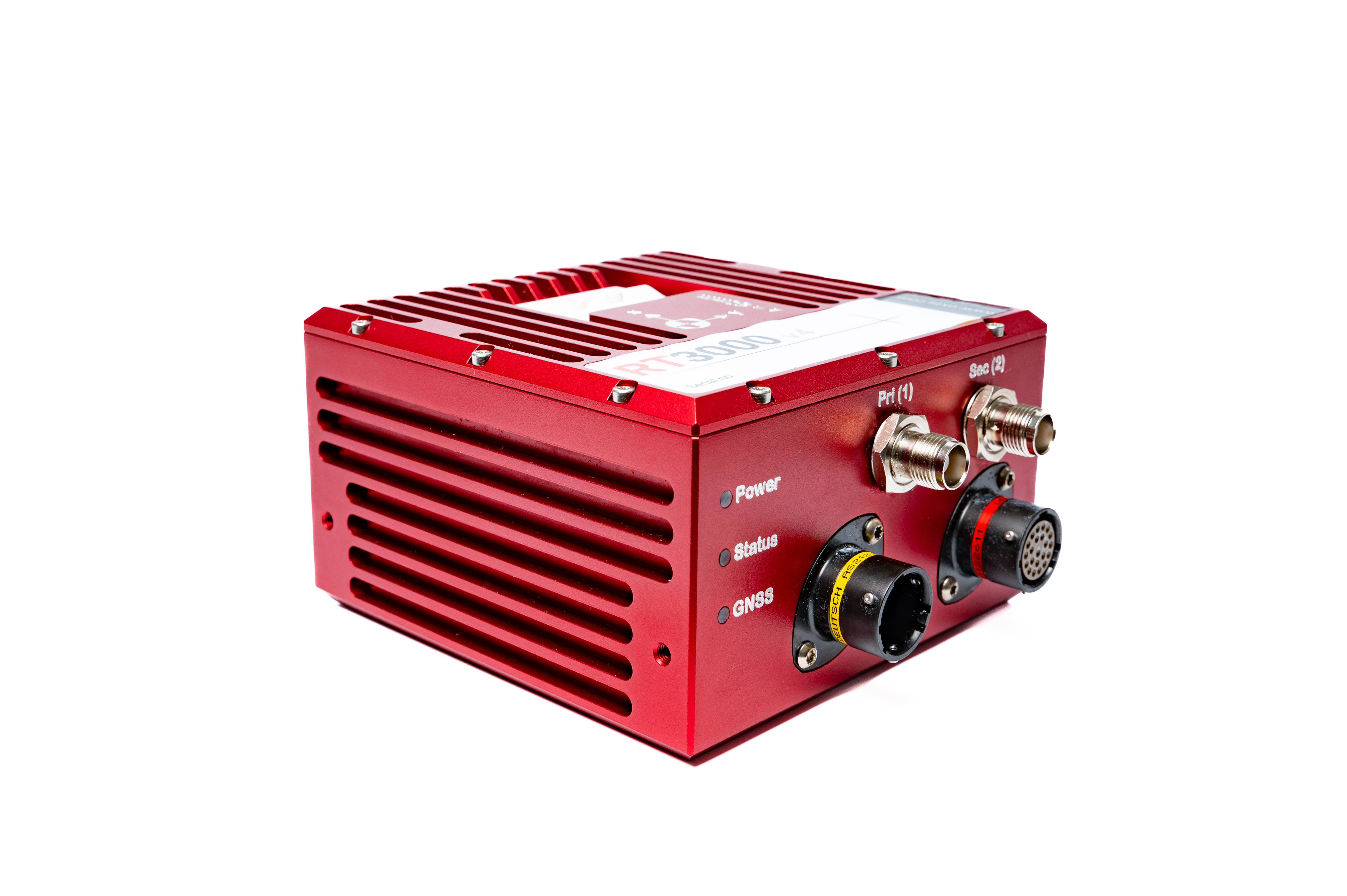
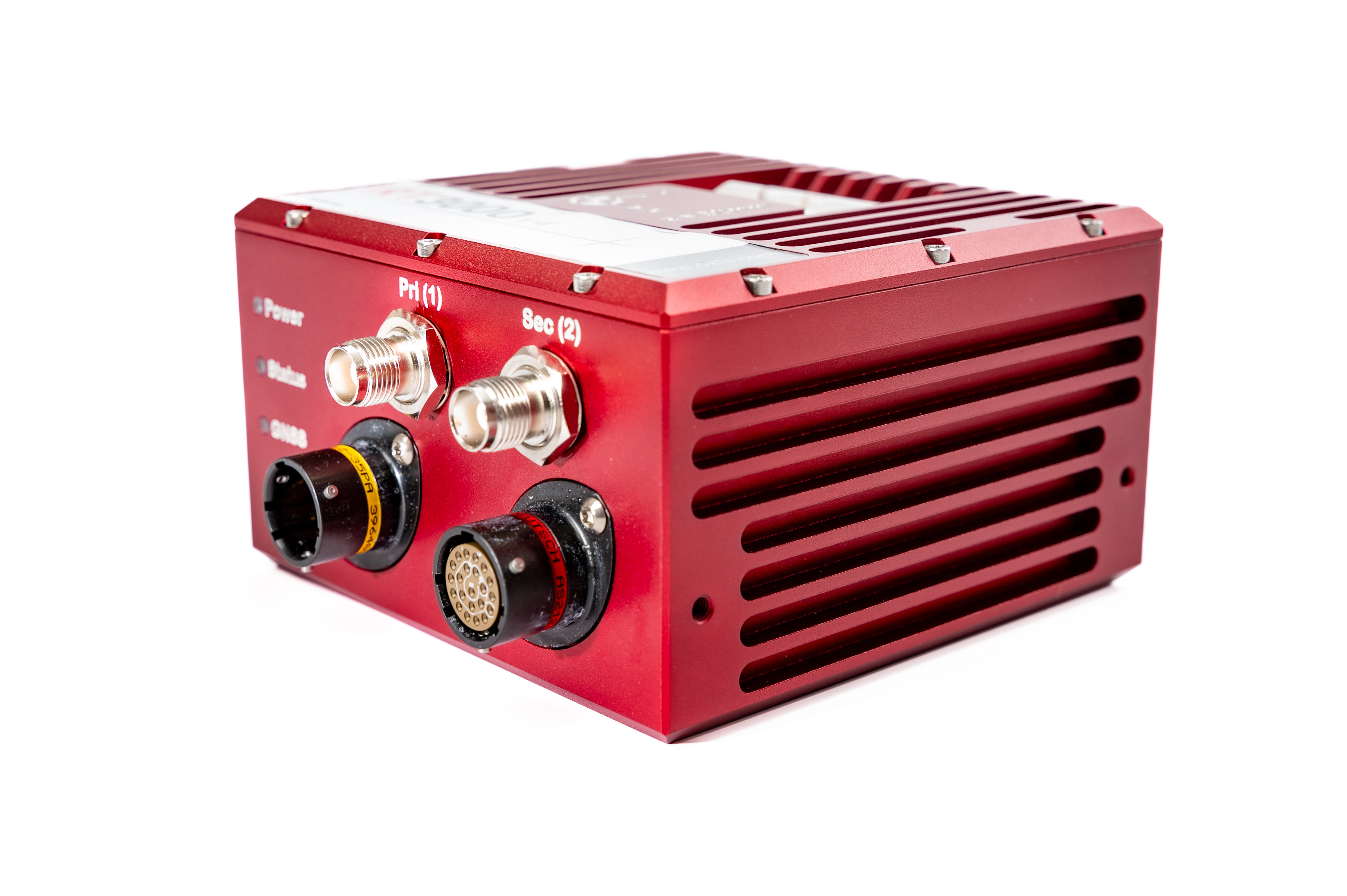
ISO17025-accredited calibration confirms that your RT3000 v4 is performing to specification.
Integraton with RT-Range allows you to calculate vehicle-to-vehicle and vehicle-to-lane measurements.
Log CAN data from other devices or the vehicle directly onto the RT3000 v4’s internal 32 GB storage.
Integration with OxTS Georeferencer gives you the ability to quickly and precisely boresight the sensors on a LiDAR payload and georeference the data from many automotive and survey-grade LiDAR sensor families.
Precision Time Protocol (PTP) synchronises all of the devices in your system to a single clock source.
TerraStar support enables you to use the NovAtel TerraStar correction service.
Network DGNSS enables GNSS corrections to be sent and received over ethernet.
The LiDAR Inertial Odometry (LIO) feature uses LiDAR data to improve navigation data in difficult GNSS conditions. Using the velocity update from a 360° field-of-view LiDAR sensor, allows the RT3000 v4 to constrain position drift in the absence of GNSS meaning better positon data and more accurate pointclouds.