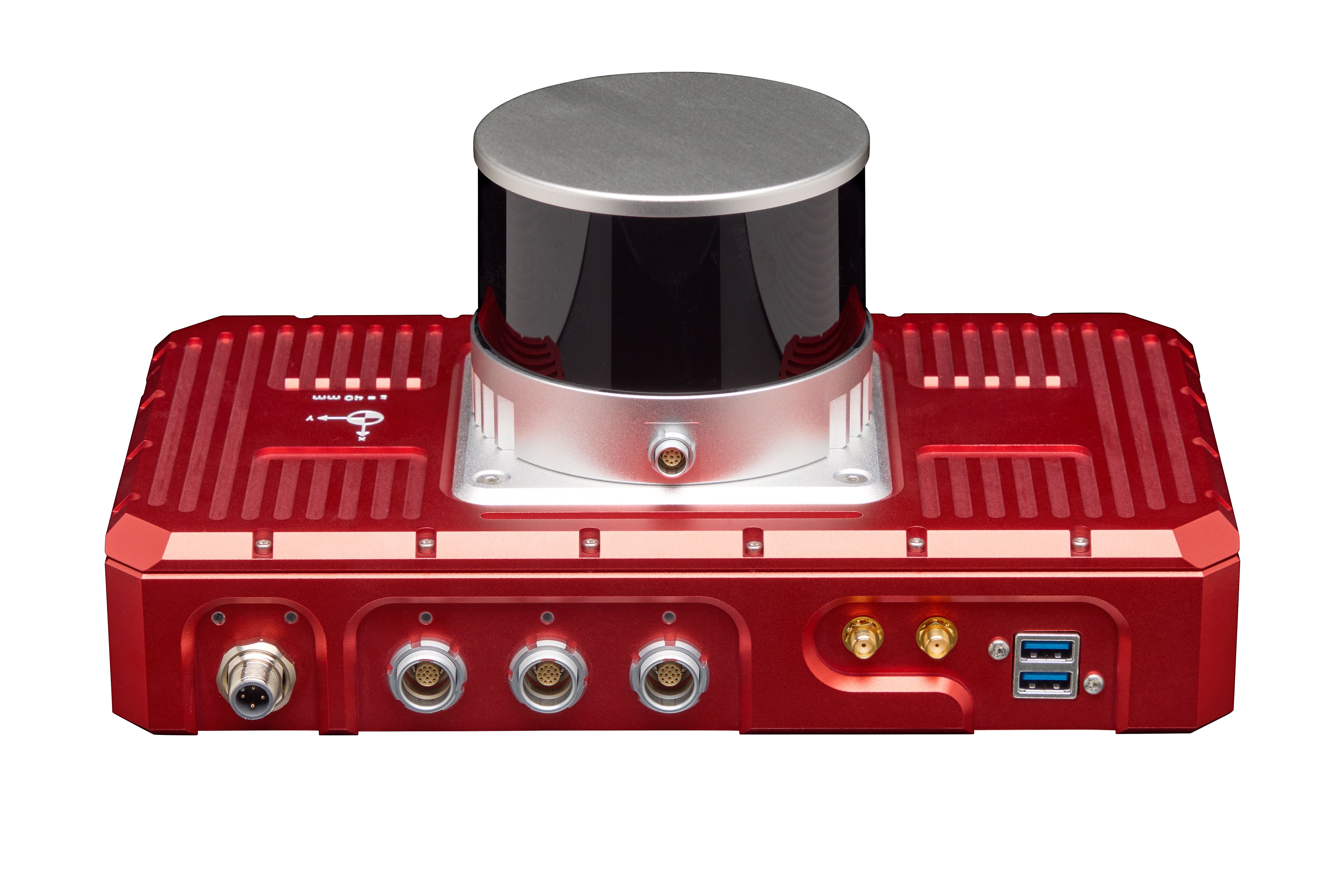
MAGUS
SALE INQUIRY
SUPPORT REQUEST
INNOVATIVE, RELIABLE, COOPERATIVE
AUTOMOTIVE R&D PARTNER
Track Testing Laboratory Testing Driving Simulators INS
(Inertial Navigation System)
Sensor & Transducers Consultancy Work
WayFinder
Overview
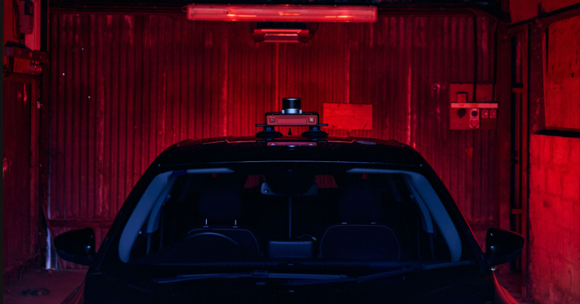
Eliminate the complexity of GNSS-denied navigation with WayFinder’s integrated GNSS, IMU, LiDAR and camera sensors ? delivering precise, real-time localisation with minimal setup and effort.

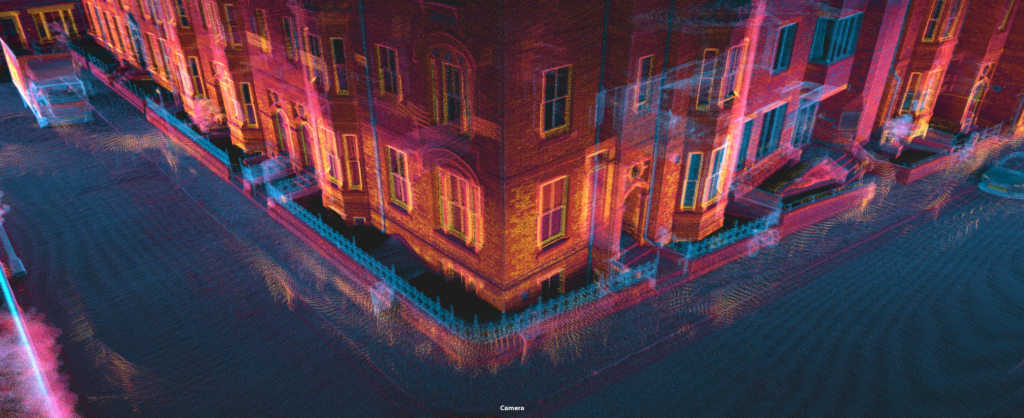
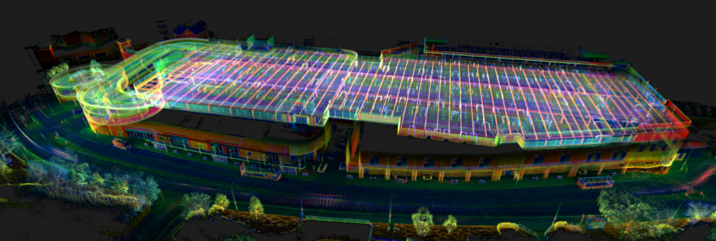
WayFinder is an advanced real-time sensor fusion platform that enables you to accurately navigate in any environment ? even when GNSS signals are intermittent or completely blocked. Ready to deploy out of the box, WayFinder is the best solution for those who need a quick, easy-to-use navigation system for accurate, real-time localisation in challenging GNSS conditions.
Highly accurate MEMS INS navigation with or without GNSS.
Localisation data you can rely on, even in environments with patchy or no GNSS signal. Seamlessly switch between GNSS and LiDAR aiding to transition between environments.

· Two survey-grade, quad constellation GNSS receivers
· OxTS latest IMU10 inertial measurement unit
· Integrated LiDAR sensor and LiDAR Boost software
LiDAR Boost for GNSS-denied navigation
Our unique LiDAR Boost technology takes data from WayFinder’s integrated LiDAR scanner to provide accurate localisation data in challenging environments.

LiDAR Boost is a set of advanced algorithms that use data from WayFinder’s integrated LiDAR to compensate for missing or erroneous GNSS updates in real time. It enables high-accuracy localisation in challenging GNSS conditions such as urban canyons, underground environments, or tunnels.
Post-processing tools included
All OxTS GNSS/INS devices include our NAVsuite software for free. NAVsuite gives you powerful post-processing tools for improving the quality of your data. It includes applications to help you accurately configure your navigation system as well as real-time data monitoring and data visualisation tools.
Out of the box navigation
WayFinder contains everything you need to start localising, and can be used as a standalone solution or integrated into a robotic control stack for autonomous navigation.
Downloads
Brochure