


| Track Testing | INS (Inertial Navigation System) |
Laboratory Testing | Driving Simulators | Sensor & Transducers | Consultancy Work |


| Parameter | xNAV650 |
|---|---|
| GNSS constellations | GPS L1, L2 GLONASS L1, L2 BeiDou L1, L2 Galileo E1, E5 |
| Position accuracy | 1.5m SPS 0.6m SBAS 0.4m DGPS 0.02m RTK 0.015 m PPK |
| Roll / Pitch accuracy (PPK) | 0.03˚ |
| Heading accuracy (PPK) | 0.1˚ |
| Measurement rate | 100Hz / 200/250Hz |
| Operating temperature | -40°C to +70°C |
| Specification temperature | -20°C to +70°C |
| Power input | 5-30 V dc |
| Power consumption | 4W |
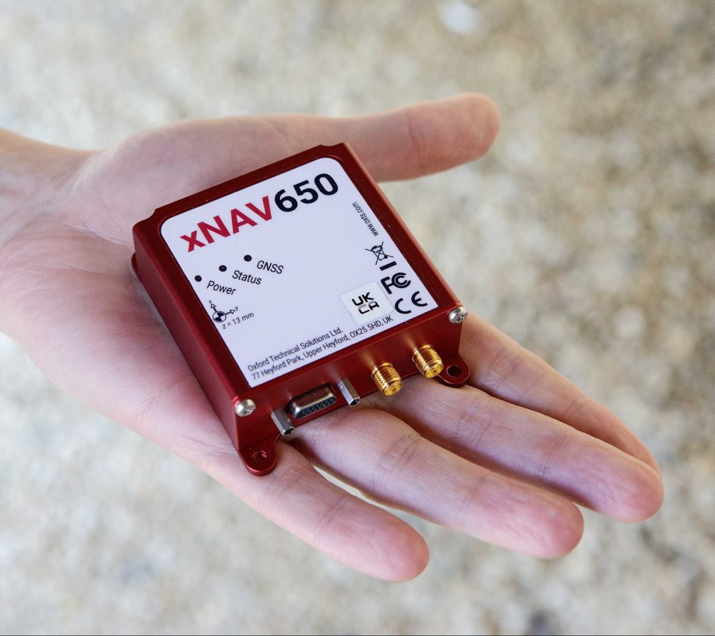
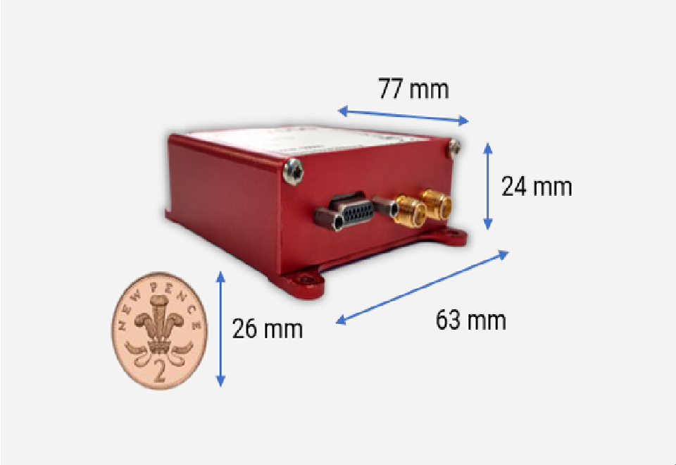
| Dimensions | 77 x 63 x 24mm |
| Weight | 130g |
| Logging capacity | 32GB |
| Interfaces | Ethernet, Serial |
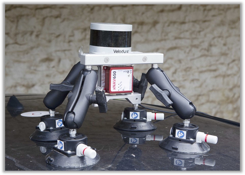
| Dual antenna | Yes |
| PTP capable | Yes |

 TOP
TOP